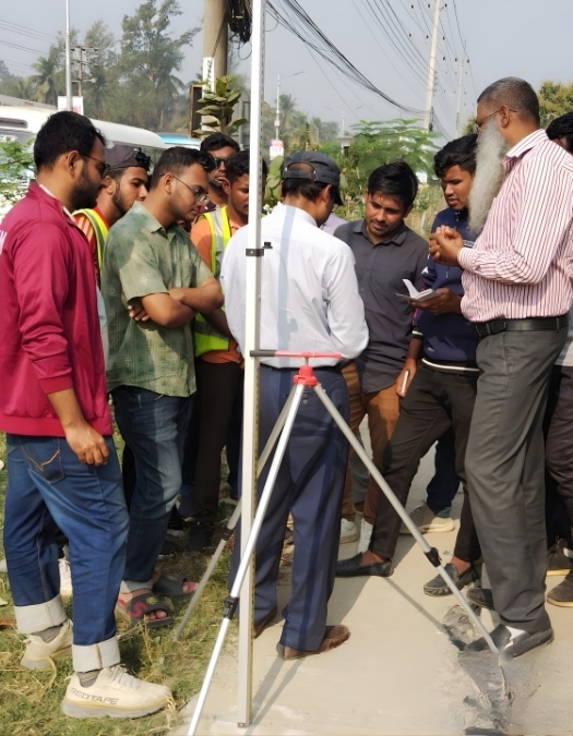
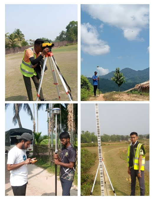
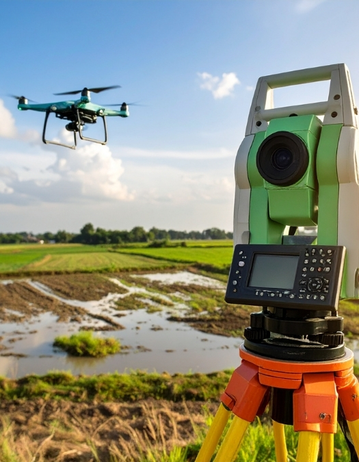
High-Precision Surveying
Centimeter-level accuracy using RTK GNSS, UAV & LiDAR
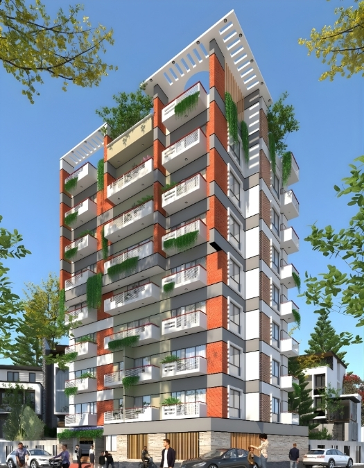
Consultancy, Development & Engineering
Centimeter-level accuracy using RTK GNSS, UAV & LiDAR
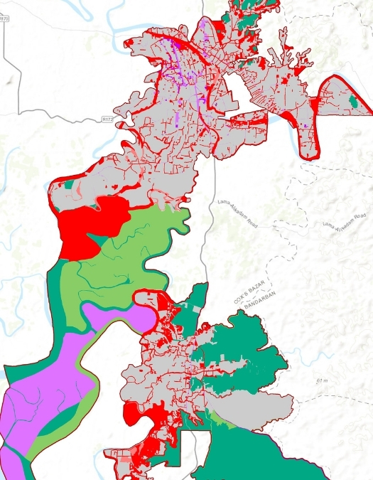
Smart mapping, orthophoto, DEM & land analysis
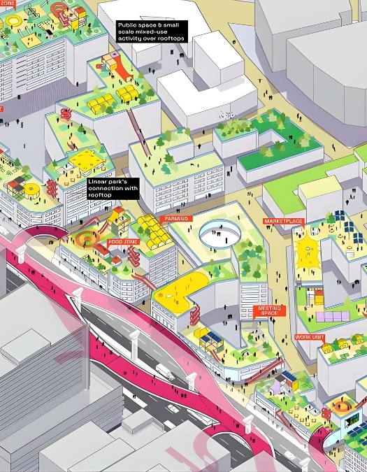
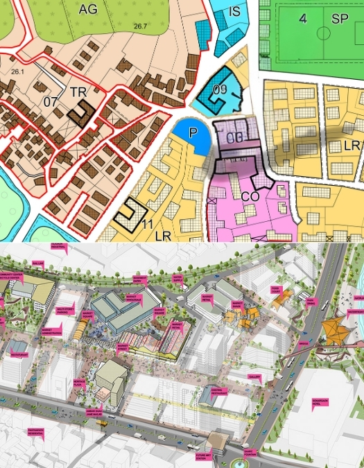
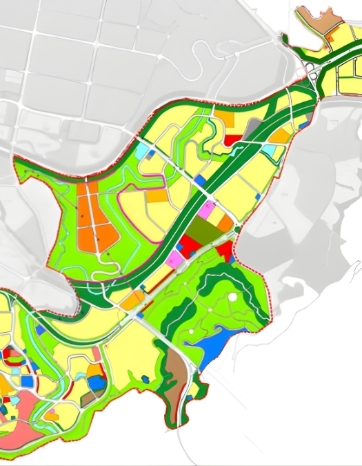
Masterplan, infrastructure & sustainable development
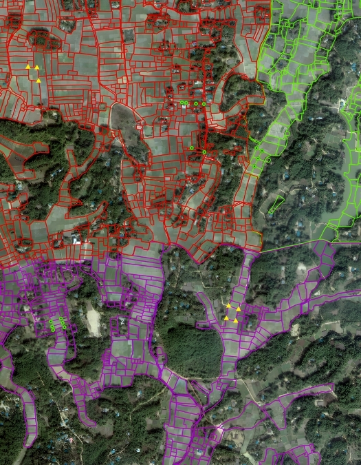
GSBD Limited is committed to fulfilling its clients' expectations via excellent service, innovation, and management. To accomplish this commitment, the firm is dedicated to support the activities of cadastral mapping, planning, development, and feasibility study, with the application of geographic information systems (GIS) and remote sensing (RS) techniques, databases, information technology, and other modern technology outfits.